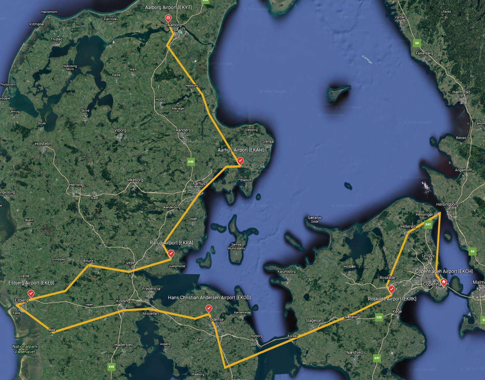
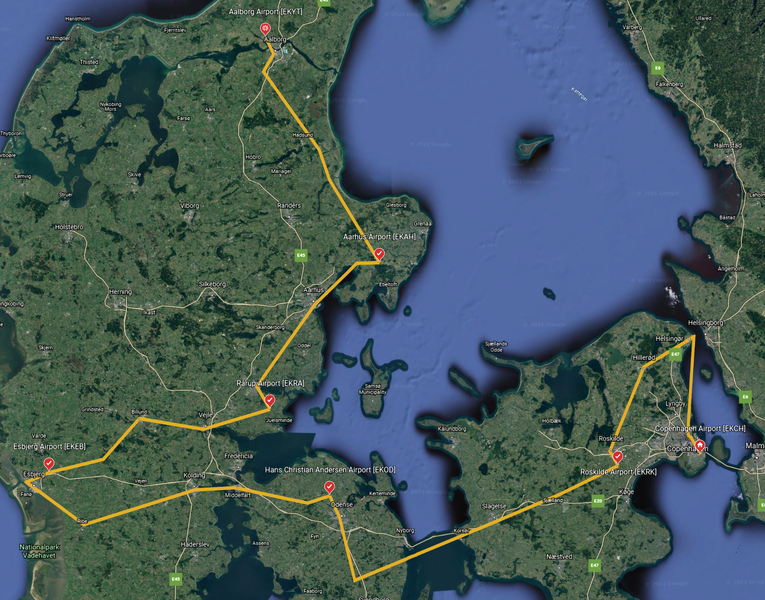
File:FS2020-Bush Trip-Discover Denmark-Map.png
Jump to navigation
Jump to search


Size of this preview: 765 × 600 pixels. Other resolutions: 306 × 240 pixels | 1,651 × 1,294 pixels.
Original file (1,651 × 1,294 pixels, file size: 4.54 MB, MIME type: image/png)
Summary
Created with Google Earth (web).
Interactive version publicly available at https://earth.google.com/earth/d/1lJ8S0QkzjyOSFF2fruHyaKy78z7jOkVN?usp=sharing.
Licensing
This work is copyrighted. It will be used in a way that qualifies as fair use under US copyright law.
File history
Click on a date/time to view the file as it appeared at that time.
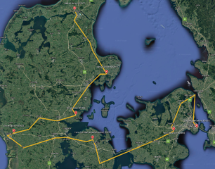
| Date/Time | Thumbnail | Dimensions | User | Comment | |
|---|---|---|---|---|---|
| current | 18:50, 22 February 2023 | | 1,651 × 1,294 (4.54 MB) | Thadius856 (talk | contribs) | == Summary == Added flight path from POI coordinates in the game files; more consistent and visible checkpoint colors and icon scheme |
You cannot overwrite this file.
File usage
The following 3 pages use this file: